RTK vs PPK in Drone Surveying: What Is the Difference?
RTK and PPK both use GNSS corrections to give drone images centimetre-level positions, reducing the need for ground control. Here is how each works and when to choose one over the other.
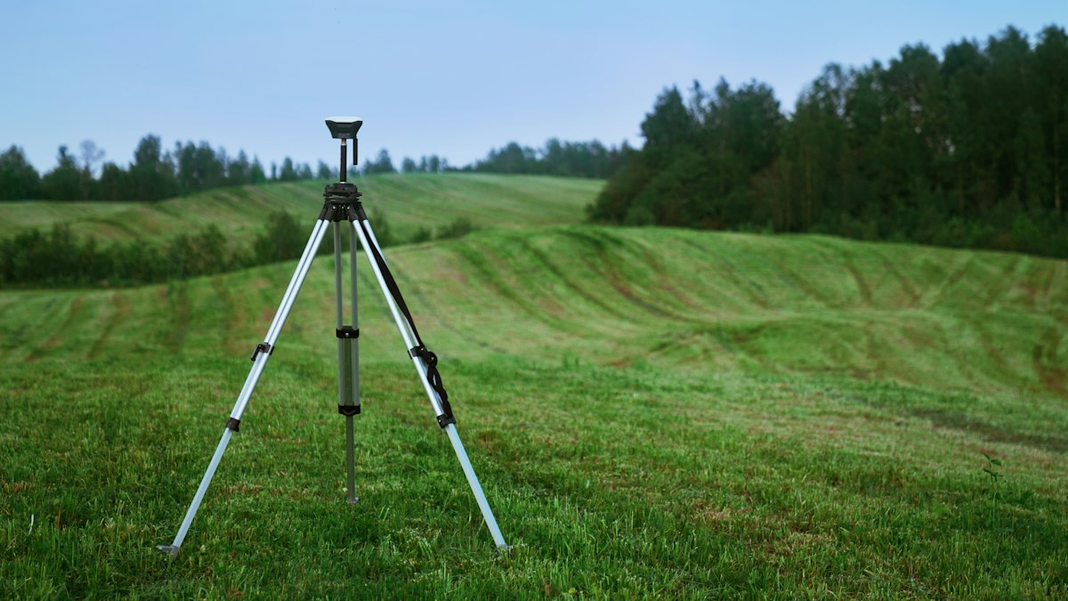
Standard drone GNSS positions are accurate to a few metres, which is not good enough for survey-grade maps. Two techniques improve this to the centimetre level by correcting the drone's position with data from a fixed base station: RTK and PPK.
RTK: real-time kinematic
With RTK, a base station (or a correction network) sends corrections to the drone during flight over a radio or internet link. Each image is tagged with a corrected position as it is captured.
- Advantages: corrected positions immediately; simple processing.
- Limitations: needs a continuous correction link. If the link drops, positions for affected images fall back to lower accuracy.
PPK: post-processed kinematic
With PPK, the drone and a base station both record raw GNSS data during the flight. Afterwards, software combines the two datasets to calculate precise image positions.
- Advantages: no live link needed, so it works in remote areas and with obstructions; processing can be repeated with improved data.
- Limitations: an extra processing step and careful handling of base station data.
Do you still need ground control?
RTK and PPK can greatly reduce the number of ground control points needed, but good practice is to keep at least some. More importantly, always measure independent checkpoints that are not used in processing. They are the honest test of your final accuracy, especially for vertical accuracy, and protect against problems such as camera calibration errors.
Which to choose?
Choose RTK when reliable corrections are available and fast turnaround matters. Choose PPK for remote sites, areas with poor connectivity or when you want maximum flexibility. Many modern drones support both. Plan resolution alongside positioning; see ground sample distance explained. Free tools such as QGIS are useful for checking deliverables against your checkpoints.