
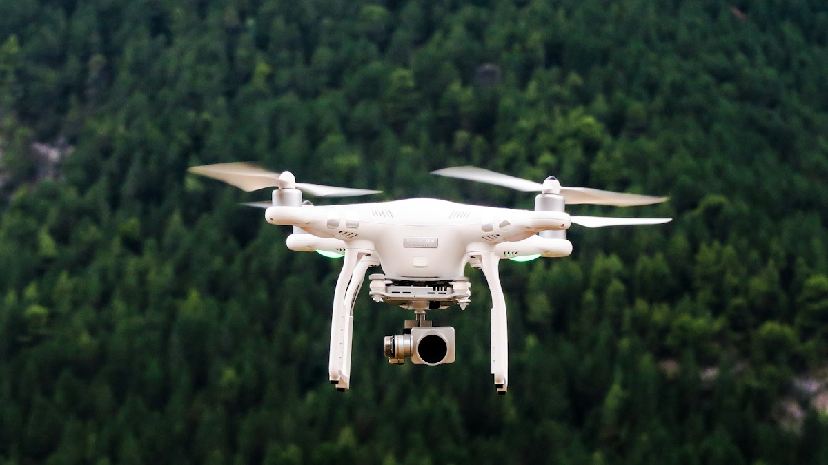
Ground sample distance is the size of one image pixel on the ground. It sets the level of detail in your drone maps and drives flight height, overlap and mission time. Here is how to calculate and choose it.
Ground sample distance (GSD) is the distance on the ground represented by one pixel in an aerial image, usually given in centimetres per pixel. A GSD of 2 cm/px means each pixel covers a 2 × 2 cm patch of ground. It is the most fundamental number in drone mapping because it determines the level of detail you can see and measure.
The formula
For a camera pointing straight down:
GSD = (sensor width × flight height) ÷ (focal length × image width in pixels)
Use consistent units: sensor width and focal length in millimetres, flight height in metres, then multiply by 100 to get centimetres per pixel.
Worked example
Take a drone camera with a 1-inch type sensor 13.2 mm wide, a focal length of 8.8 mm and images 5,472 pixels wide, flown at 100 metres:
GSD = (13.2 × 100) ÷ (8.8 × 5,472) = 1,320 ÷ 48,153.6 ≈ 0.0274 m, or about 2.7 cm/px.
At 50 metres, GSD halves to about 1.4 cm/px. GSD scales directly with height.
What affects GSD
- Flight height: lower flights give smaller GSD and more detail.
- Focal length: longer lenses give smaller GSD at the same height.
- Sensor size and resolution: more pixels across the sensor give smaller GSD.
- Terrain: on sloping or hilly sites, height above ground varies, so GSD varies too. Terrain-following flight helps keep it consistent.
The trade-off: detail vs time
Halving the GSD means flying at half the height, which halves the width of each image footprint. To cover the same area with the same overlap, you need roughly four times as many images, longer flights, more batteries and much more processing time. Choose the largest GSD that still meets the project's needs.
Choosing GSD for your project
| Use | Typical GSD range |
|---|---|
| Broad-area mapping, agriculture overview | Several cm/px or more |
| Construction progress and stockpile volumes | Around 2 to 5 cm/px |
| Detailed topographic survey | Around 1 to 3 cm/px |
| Inspection of structures and defects | Sub-centimetre |
These are general indications; required GSD depends on the client's accuracy specification and the smallest feature you need to identify.
GSD is not accuracy
GSD describes resolution, not positional accuracy. A map with 1 cm GSD can still be offset by a metre if positioning is poor. Accuracy depends on ground control points, RTK or PPK positioning, camera calibration and processing. Verify with independent checkpoints. Our article on RTK vs PPK in the submissions library explains the positioning options.
Plan overlap too
Photogrammetry needs images to overlap substantially so software can match features. Common starting values are around 70 to 80% front overlap and 60 to 70% side overlap, increased for difficult surfaces such as vegetation or low-texture areas. Adding a crossing grid or oblique images improves 3D reconstruction of vertical surfaces.
Flying legally
Lower flights often mean closer proximity to people and structures. Check your country's drone regulations for height limits, operator registration, permissions and airspace restrictions before planning a mission.
Deciding between camera and laser capture? See LiDAR vs photogrammetry.


0 Comments
No comments yet — be the first to share what you think.