
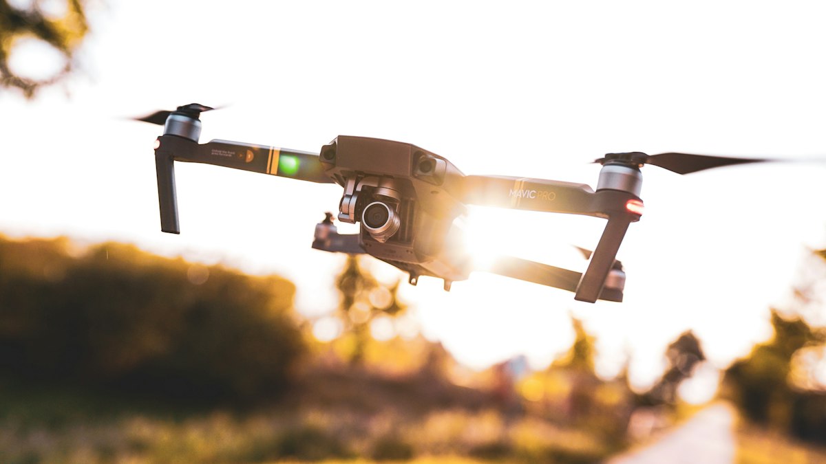
LiDAR and photogrammetry both produce 3D data from the air, but they work differently and excel in different conditions. Here is how to choose for vegetation, accuracy, cost and deliverables.
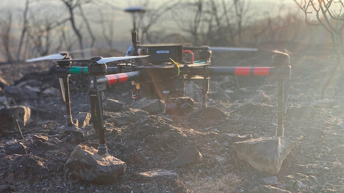
Whether you are surveying a construction site, mapping a forest or planning a road, two aerial methods dominate modern 3D data capture: LiDAR and photogrammetry. Both can be flown from drones or crewed aircraft, and both produce point clouds and elevation models. The right choice depends on what is on the ground and what you need to deliver.
How photogrammetry works
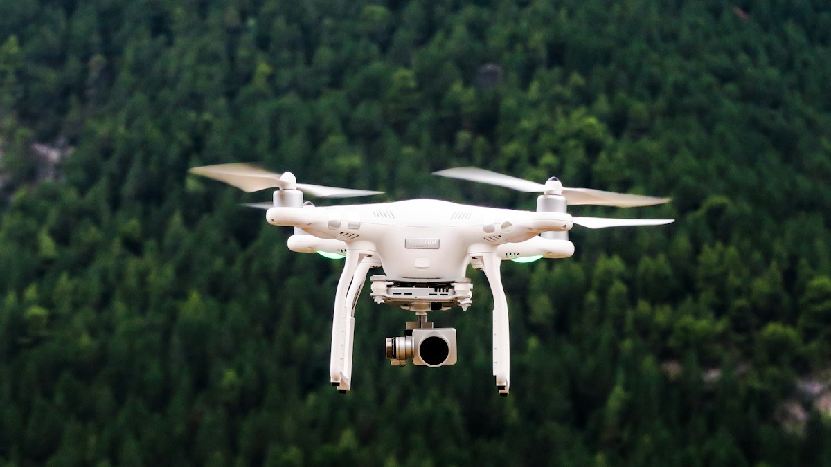
Photogrammetry reconstructs 3D geometry from overlapping photographs. Software identifies the same features in many images taken from different positions and calculates their location in space. The outputs include dense point clouds, textured 3D meshes, digital surface models and orthomosaics: geometrically corrected, map-accurate aerial images.
It relies on visible texture. Surfaces with little detail, such as water, fresh snow, uniform roofs or glass, are hard to reconstruct, and it cannot see the ground beneath dense vegetation.
How LiDAR works
LiDAR (light detection and ranging) emits laser pulses and measures the time each pulse takes to return. Combined with precise positioning from GNSS and an inertial measurement unit, each return becomes a 3D point. Crucially, a single pulse can produce multiple returns: some from the tree canopy, some from branches, and some from the ground beneath gaps in the foliage.
That ability to reach the ground through vegetation is LiDAR's defining advantage.
Side-by-side comparison
| Factor | Photogrammetry | LiDAR |
|---|---|---|
| Ground under vegetation | Poor | Good, through canopy gaps |
| Visual detail and colour | Excellent; produces orthomosaics | Limited unless combined with a camera |
| Thin features (power lines, edges) | Difficult | Good |
| Featureless surfaces | Difficult | Good |
| Equipment cost | Lower | Higher |
| Lighting dependence | Needs good, even daylight | Active sensor; less dependent on light |
| Processing | Computationally heavy image matching | Trajectory processing and point classification |
When to choose photogrammetry
- Open sites with little vegetation: construction, quarries, stockpiles, agriculture
- When a high-resolution orthomosaic or textured 3D model is the main deliverable
- Building facades and heritage documentation with good surface texture
- Projects with tight budgets
When to choose LiDAR
- Terrain under forest or dense vegetation
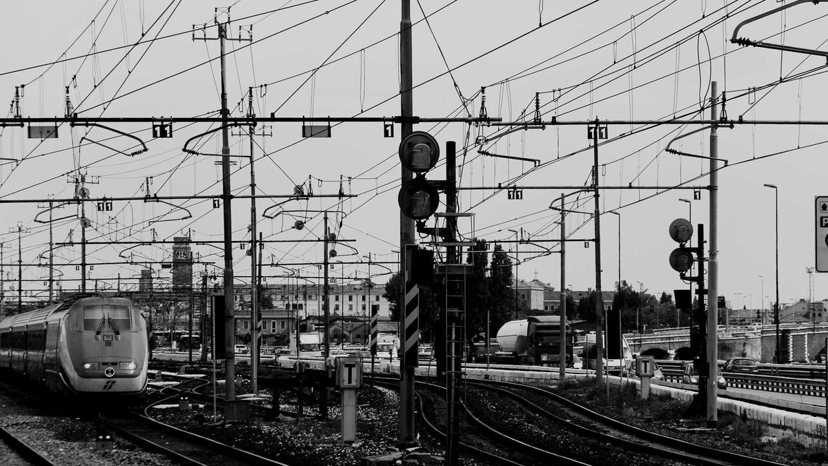
- Corridor mapping for power lines, rail and roads
- Detailed drainage, flood and terrain modelling where bare-earth accuracy is critical
- Complex structures with thin elements
Combining both
Many drone LiDAR systems include a camera, and many projects combine methods: LiDAR for accurate terrain and vegetation structure, photogrammetry for visual context and orthomosaics. The combination often gives the most complete result.
Accuracy depends on more than the sensor
For both methods, final accuracy depends on flight planning, positioning (RTK, PPK or ground control), processing and quality control. Independent checkpoints, measured on the ground but not used in processing, are the honest way to verify accuracy. See our guide to ground sample distance and flight planning, and learn what the outputs mean in DEM, DSM and DTM explained.
Questions to ask a survey provider
- What accuracy will be achieved, and how will it be verified?
- Which deliverables and file formats will we receive?
- Will we receive the classified point cloud, not only derived products?
- What coordinate reference system and vertical datum will be used?




0 Comments
No comments yet — be the first to share what you think.