Ground Sample Distance (GSD): How Flight Height Affects Drone Map Quality
Ground sample distance is the size of one image pixel on the ground. It sets the level of detail in your drone maps and drives flight height, overlap and mission time…

5 articles
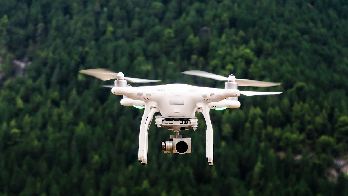
Ground sample distance is the size of one image pixel on the ground. It sets the level of detail in your drone maps and drives flight height, overlap and mission time…
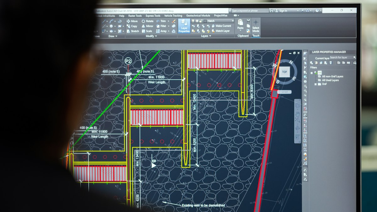
QGIS is a free, open-source GIS used by professionals worldwide. This beginner's walkthrough covers installation, loading data, styling layers, basic analysis and…

When map layers do not line up, the coordinate reference system is usually the reason. Here is a plain-English guide to datums, projections, UTM zones and EPSG codes.
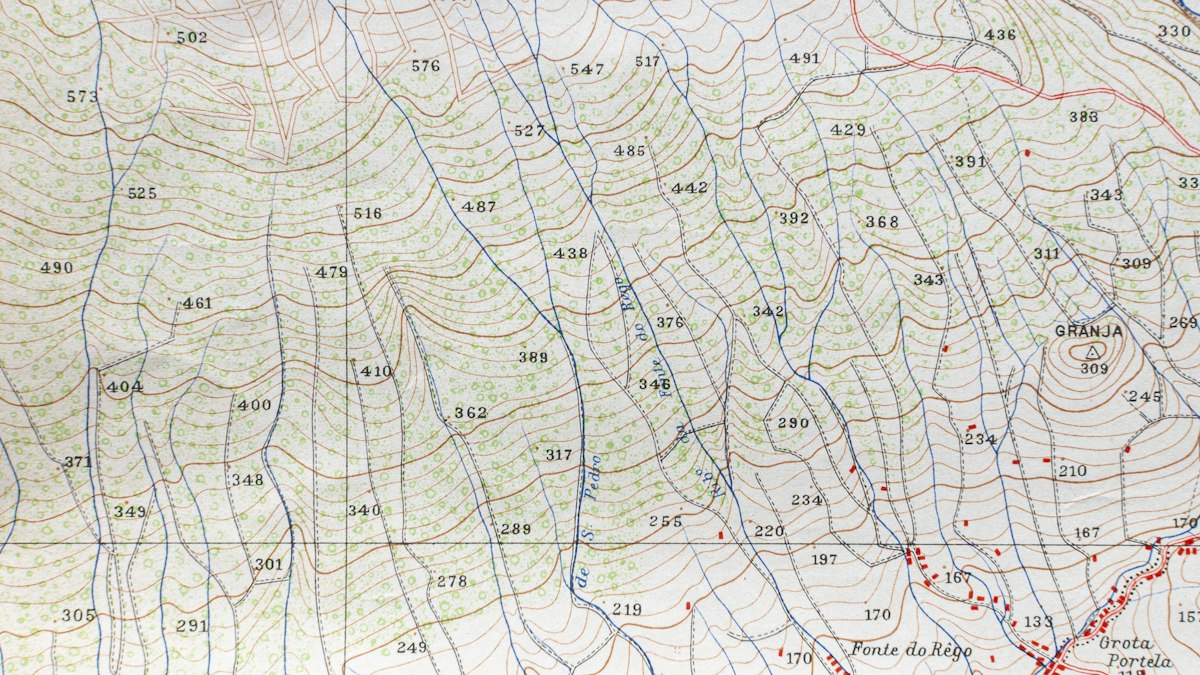
Elevation models come in different types, and the labels are used inconsistently. Here is the difference between a digital surface model and a digital terrain model, and…
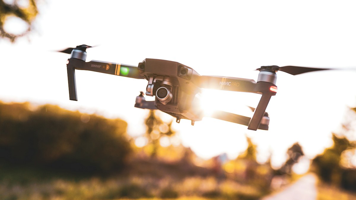
LiDAR and photogrammetry both produce 3D data from the air, but they work differently and excel in different conditions. Here is how to choose for vegetation, accuracy…